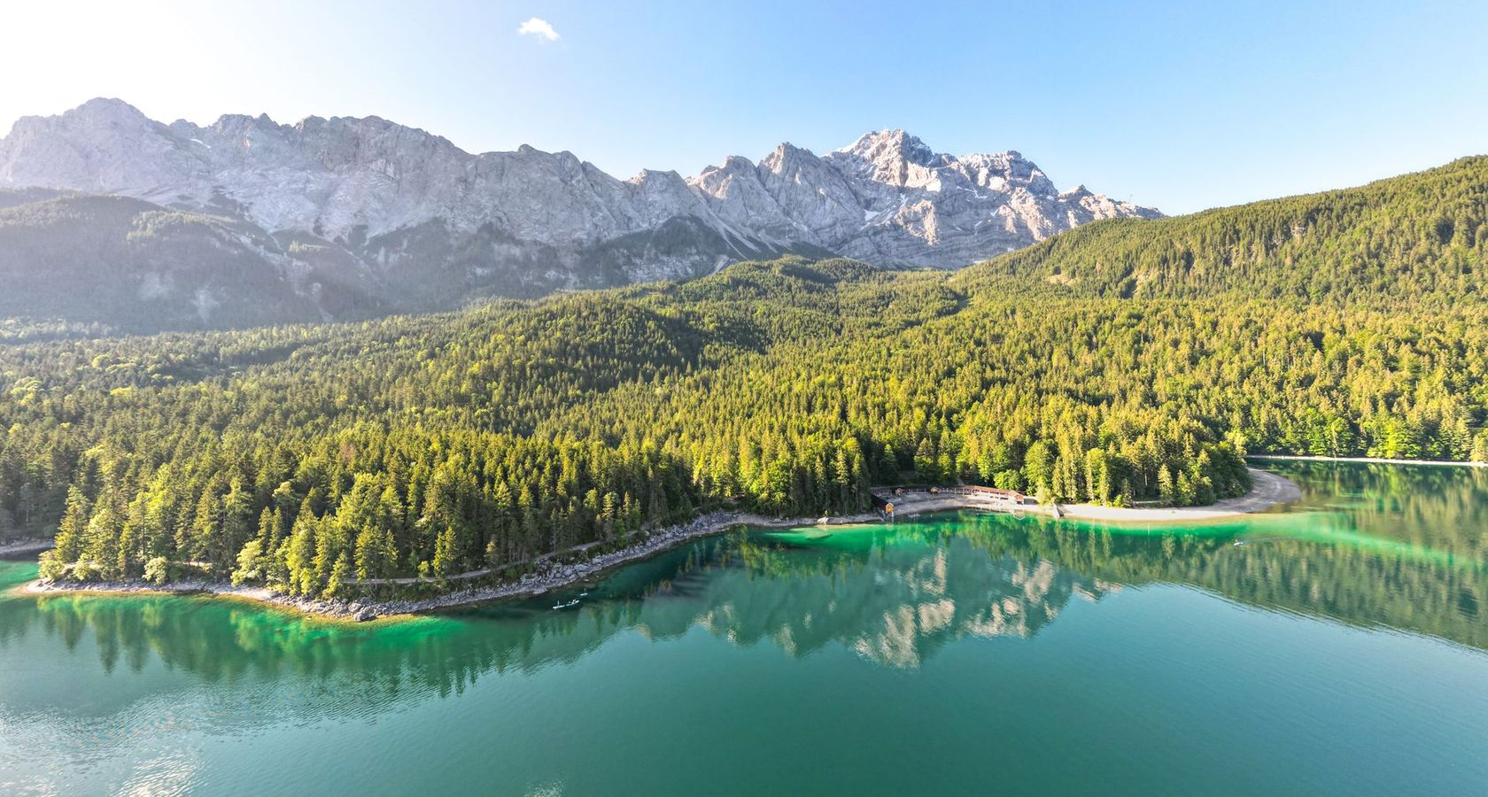
The Adirondack High Peaks are the 46 tallest mountains of the Adirondack Park, clustered around Lake Placid and Keene Valley. Climbing all 46 earns hikers the title of "46er" — a tradition dating back to the 1920s. Below are some of the most popular summits for planning your next climb.
Trip Planning
Always check current trail conditions and weather before heading out. Many High Peaks trails are strenuous full-day hikes above treeline where conditions change quickly. Carry map, compass, water and layers, and register at the trailhead.
Notable High Peaks
- Mount Marcy — 5,344 ft (highest in New York)
- Algonquin Peak — 5,114 ft
- Mount Haystack — 4,960 ft
- Mount Skylight — 4,926 ft
- Whiteface Mountain — 4,867 ft
- Dix Mountain — 4,857 ft
- Gothics — 4,736 ft
- Mount Colden — 4,714 ft
- Giant Mountain — 4,627 ft
- Cascade Mountain — 4,098 ft
- Big Slide Mountain — 4,240 ft
- Mount Jo — 2,876 ft (family-friendly)
Whiteface Mountain, home of the 1980 Olympic alpine events, is the only High Peak accessible by car via the Veterans Memorial Highway, with sweeping views across the Adirondack Park and Lake Champlain toward Vermont.